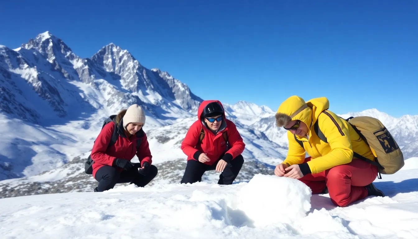
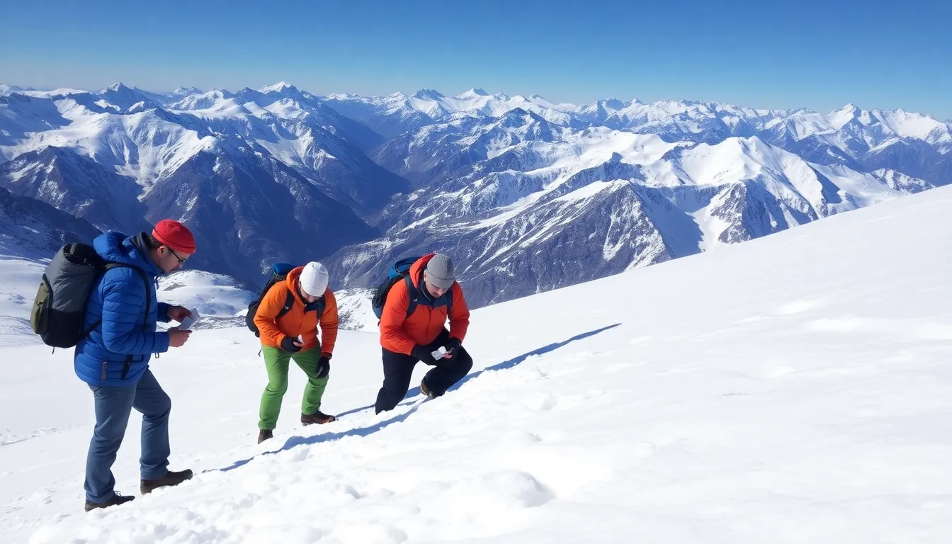
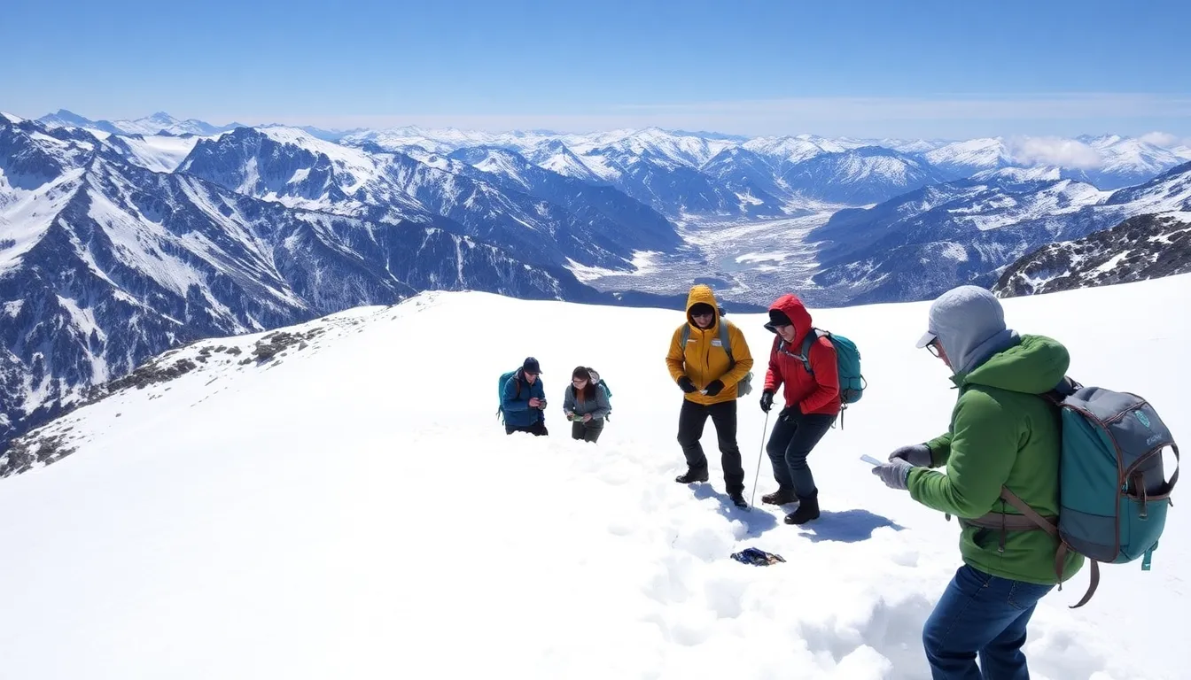
Researchers from various institutions, including NASA and university teams, have been conducting field studies to validate satellite measurements. In 2023, a significant initiative took place in the Sierra Nevada mountains, where scientists climbed to high altitudes to collect snow samples and compare them with satellite data. This effort is crucial for understanding climate patterns.
The importance of these efforts is underscored by the increasing frequency of extreme weather events and their impact on snow patterns. Accurate snow measurement can enhance forecasting models, which are essential for water management in regions heavily reliant on snowmelt for irrigation and drinking water.
Moreover, the collaboration among scientists, engineers, and satellite operators highlights the interdisciplinary nature of this research. By integrating data from ground-based observations with satellite imagery, researchers aim to improve the accuracy of snow depth measurements, which can significantly influence climate models and policy decisions.
The Importance of Accurate Snow Measurement for Climate Studies
Snow cover plays a critical role in the Earth’s climate system, influencing weather patterns, hydrology, and ecosystems. Accurate measurement of snow depth and extent is essential for understanding climate change, as it directly impacts water resources, agriculture, and biodiversity. Historically, snow measurement has relied on ground-based methods, which, while effective, often lack the spatial coverage needed to assess large areas comprehensively.
As satellite technology advanced in the late 20th century, scientists began exploring remote sensing as a viable alternative to traditional snow measurement techniques. Early satellite missions focused on capturing images of the Earth’s surface, but it wasn’t until the launch of specialized instruments, such as NASA’s MODIS (Moderate Resolution Imaging Spectroradiometer), that researchers could obtain detailed snow cover data from space. These developments marked a significant milestone in the field of climate science, allowing for more accurate and timely assessments of snow conditions.
The Challenges of Remote Sensing
Despite the advantages of satellite measurements, challenges remain. Snow is a complex variable that can change rapidly due to weather conditions, making it difficult to capture accurate data from space. Factors such as snow density, grain size, and surface temperature can affect how snow reflects sunlight, complicating the interpretation of satellite data. To address these challenges, scientists often combine remote sensing with ground-based measurements, including climbing mountains to validate satellite observations.
The integration of these methods not only enhances the accuracy of snow measurements but also provides a more comprehensive understanding of snow dynamics in different geographic regions. As climate change continues to alter snowfall patterns globally, the need for precise snow measurement techniques becomes increasingly urgent. This intersection of technology and traditional methods exemplifies the ongoing evolution of climate science in response to environmental changes.
Key Stakeholders and Technologies Involved in Snow Measurement
Measuring snow from space involves a diverse array of stakeholders, including governmental agencies, research institutions, and private companies. Each of these entities has unique interests that influence how snow measurement technologies are developed and utilized. For example, national meteorological organizations prioritize accurate snow data for weather forecasting and climate modeling, while private companies may focus on commercial applications, such as ski resort management and water resource planning.
Among the key actors, NASA and the European Space Agency (ESA) play pivotal roles in advancing satellite technologies that enable snow measurement from space. Their interests often align with scientific research and environmental monitoring, but they also face challenges related to funding and resource allocation. Conflicts may arise when budget constraints limit the development of new technologies or when priorities shift due to emerging global issues such as climate change.
Another significant stakeholder group includes academic researchers who study snow dynamics and its impact on ecosystems and water supply. Their work often relies on satellite data, which necessitates collaboration with governmental and private entities. However, trade-offs can occur when research priorities do not align with the operational needs of agencies or companies, leading to potential gaps in data collection and analysis.
- Technological advancements: Innovations in remote sensing and satellite imaging are crucial for improving snow measurement accuracy.
- Funding challenges: Limited budgets can hinder the development of new measurement technologies and the maintenance of existing ones.
- Collaboration requirements: Effective snow measurement often necessitates partnerships between public and private sectors, which can complicate data sharing.
- Climate change implications: As climate patterns shift, the need for accurate snow data becomes increasingly critical for water resource management.
Legal and regulatory frameworks also play a vital role in shaping how snow measurement technologies are deployed. For instance, international agreements on data sharing and environmental protection can influence how satellite data is accessed and utilized. These frameworks aim to balance the interests of various stakeholders while promoting transparency and collaboration in snow measurement efforts.
How Snow Measurement Affects Weather Forecasting and Climate Research
The measurement of snow from space significantly impacts various groups, including meteorologists, climate scientists, and policymakers. These professionals rely on accurate snow data to make informed decisions regarding weather forecasts, climate models, and environmental policies. Regions that experience heavy snowfall, such as mountainous areas and northern latitudes, are particularly affected, as they depend on precise snow measurements for safety, resource management, and economic activities, similar to how fertiliser supplies are essential for agriculture.
In the short term, improved snow measurement techniques can enhance daily weather forecasts, leading to better preparedness for winter storms. This can benefit industries such as transportation, agriculture, and tourism, where snow conditions directly influence operations. For example, ski resorts may see increased business with accurate predictions of snowfall, while farmers can plan their planting schedules based on snowmelt timing.
Mid-term impacts include better climate modeling and understanding of snow’s role in the Earth’s climate system. As researchers gain insights into snowpack changes, this information can inform policy decisions related to water resource management and climate change adaptation strategies. Regions that rely on snowmelt for water supply may find opportunities to implement more sustainable practices based on these findings.
- Risks: Inaccurate snow measurements can lead to misinformed policies, increased disaster risk, and economic losses.
- Opportunities: Enhanced technology for snow measurement can drive innovation in satellite data applications and climate resilience strategies.
Ultimately, the impact of snow measurement extends beyond just scientific research; it influences the daily lives of people living in affected regions and shapes the future of industries reliant on accurate environmental data.
A: Snow is measured from space using satellite technology that detects the Earth’s surface temperature and reflectivity. These measurements help scientists estimate snow depth and coverage. A: Climbing a mountain allows researchers to collect ground-truth data, which is essential for validating satellite measurements and ensuring accuracy in snow data. A: Technologies include remote sensing satellites equipped with radar and optical sensors that can analyze snow characteristics from orbit. A: Accurate snow measurement is crucial for understanding climate patterns, predicting weather, and studying the effects of climate change on ecosystems. A: Yes, challenges include atmospheric interference, varying snow types, and the need for precise calibration of satellite instruments.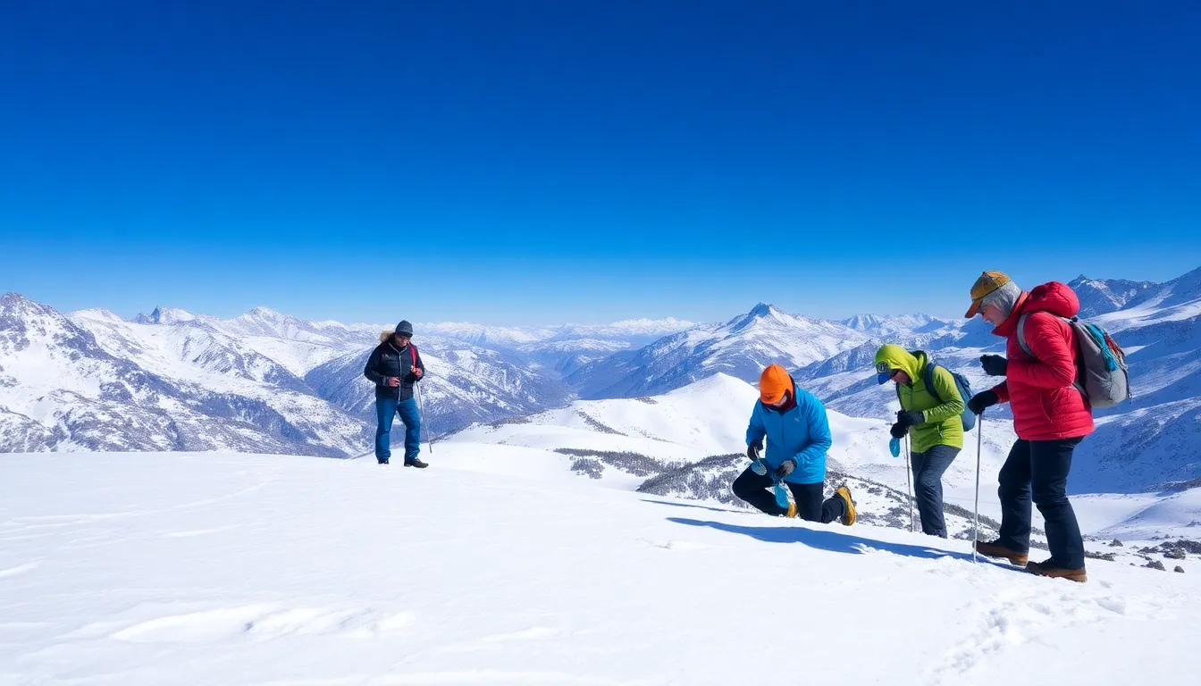
Frequently Asked Questions about Snow Measurement from Space
Future Directions in Snow Measurement Techniques
The integration of satellite technology and ground-based observations is transforming our understanding of snow dynamics. As researchers climb mountains to gather critical data, they are simultaneously enhancing the accuracy of satellite measurements. This dual approach not only improves our ability to monitor snow cover but also facilitates better predictions related to water resources, climate change, and natural disasters.
Looking ahead, advancements in remote sensing technology and data analytics will likely lead to more precise snow measurements from space. The collaboration between scientists and technologists will be essential in developing innovative solutions to address the challenges posed by changing climate conditions.
- Interdisciplinary Collaboration: Continued partnerships between meteorologists, remote sensing experts, and hydrologists will enhance the accuracy of snow measurement techniques.
- Impact on Water Resources: Improved snow data will play a crucial role in managing water resources, particularly in regions dependent on snowmelt for agriculture and drinking water.
- Climate Change Insights: Enhanced snow monitoring will provide vital information on climate change effects, aiding in the development of adaptive strategies.
- Technological Innovations: Emerging technologies such as machine learning and advanced satellite sensors will further refine snow measurement methodologies.